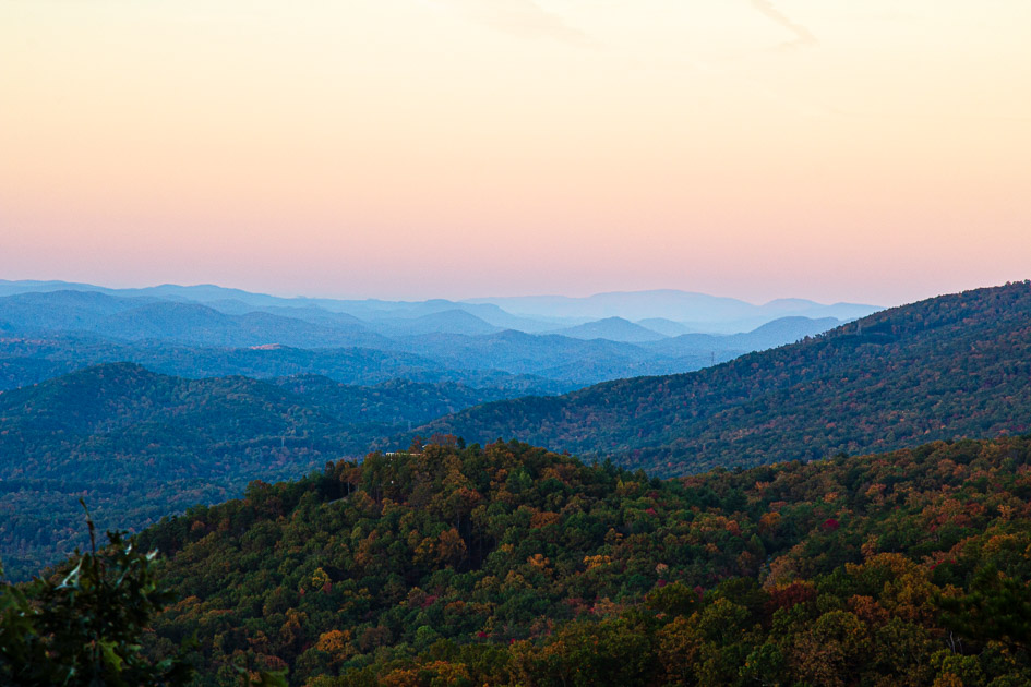
I love the Smoky Mountains, but sometimes I’m just not up to dealing with the crowds. You know what I mean – the stop and go traffic you endure just to get to the park entrance; the sometimes-careless drivers, and the packed parking lots. When I want to see some beautiful scenery without the crowds, I head to the peaceful side of the Smokies and drive the Foothills Parkway.
For those of you who haven’t had the privilege of visiting the peaceful side of the Smokies, it’s the area consisting of Townsend, Wears Valley, and Walland. You can get there by traveling from Knoxville through Maryville on highway 321.
Abandon the Crowds and Head Toward the Peaceful Side of the Smokies
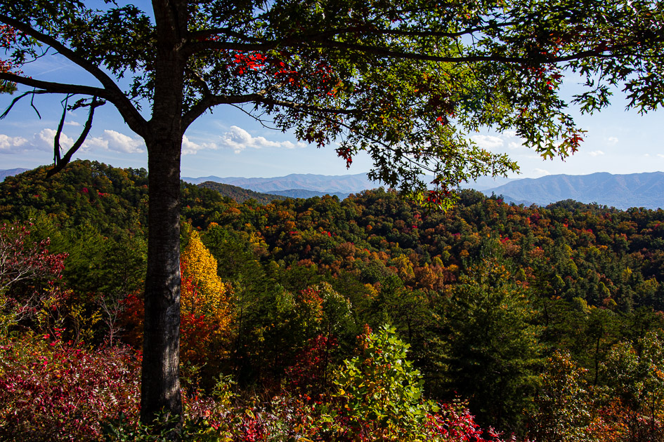
There’s nothing like driving through the roads in the Smoky Mountains, especially in the fall. As the green leaves change to golden yellows, vibrant oranges and striking reds, the Smokies provide visitors with an elaborate bouquet of color amid breathtaking vistas. Combine this with tumbling streams, cascading waterfalls, and possibly a bear or two, and it’s easy to see why the Smokies are the most visited national park in the country.
But along with all this beauty come the crowds. Anyone who has visited Cades Cove in the fall can attest to the long lines and excruciatingly slow traffic. When I’m not in the mood to endure the crowds but I still want a glimpse of this showcase of color, I turn my truck towards the peaceful side of the Smokies. One of my favorite things to do is to drive the Foothills Parkway.
Foothills Parkway – the Oldest Unfinished Highway Project in Tennessee
Foothills Parkway is not technically considered to be within the Great Smoky Mountains National Park. According to the Auto Touring Brochure (GSMNP), the Parkway was “routed outside the Great Smoky Mountains National Park, through the 2,000-3,000-foot-high foothills that conveniently front the Great Smoky Mountains like bleachers.” Because of that, it provides you with some captivating views of the Smoky Mountains and the Tennessee Valley without having to deal with so many people.
Authorized by Congress in 1944, the Parkway is supposed to be 72 miles long but only three segments of it have been completed and are open to the public. Foothills Parkway East is a 5.6-mile section that runs from I40 south to US321 near Cosby. At this writing, this section is currently closed due to the impact of Hurricane Helene.
Foothills Parkway West is a 32-mile section divided by US321. The eventual goal is to connect the east and west sections to create a 72-mile-long parkway. Unfortunately, according to what I have read, the funding is simply not there.
Chasing the Sunrise on Foothills Parkway
This past week, I decided driving to the peaceful side of the smokies and touring Foothills Parkway made more sense than fighting the overwhelming “leaf peeper” traffic in the Smokies. Early one morning, I drug myself out of bed and began the race against the sun to get to the parkway before sunrise.
My plan was to take 321 through Maryville and enter Foothills Parkway at Walland and drive towards Chilhowee Lake. My final destination was Look Rock which was about 9.5 miles from the Walland entrance.
Foothills Parkway has several overlooks where you can safely exit your car and enjoy the views. Unfortunately, I haven’t been able to find an official park website that lists the overlooks and where they are. I’ll update this if I find one. After a lot of research, the most complete listing of overlooks on Foothills Parkway I could find is at roadtripsandcoffee. I can’t attest to the accuracy of this map, but if you’re interested, you can click here to access it.
The first two overlooks are great for catching the sunrise. But I’ve shot the sunrise there before, so I wanted to try another location. And since I still had a few moments before sunrise I continued to Look Rock.
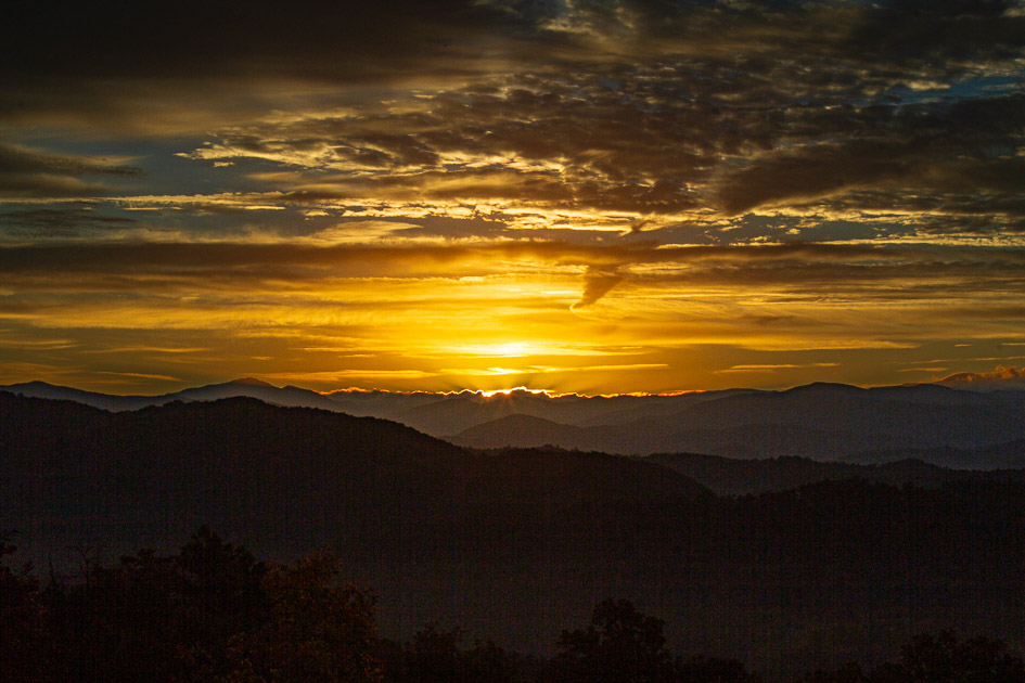
Look Rock – the Highest Elevation on Foothills Parkway
Look Rock is the highest elevation on the Parkway. It’s located between mile marker 14 and 15. There is a scenic lookout on one end of the parking area and then a short sidewalk at the opposite end which takes you to the Look Rock Tower Trail.
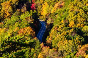
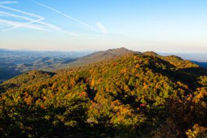
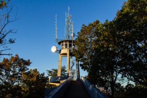
I made it just in time to catch the sunrise at the overlook. As you can see, it’s beautiful. But that’s only the beginning of what Look Rock has to offer. If you go to the opposite end and take the sidewalk across the Parkway, you can access the Look Rock Tower Trail. This trail leads you to a viewing platform giving you an unbelievable 360-degree view.
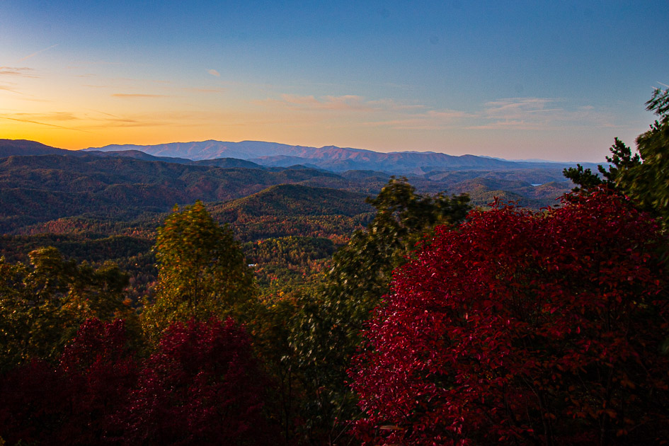
The Look Rock Tower Trail
While the surface is paved and it is less than a mile in and out, there is a 170-foot rise in elevation. What exactly does that mean? If you’re in bad shape and determined to make the trip, take it slow and stop frequently. If you’re in ok shape, you may have to stop a few times. Are you in good shape? Then it will be a walk in the park.
And it is definitely worth the trip. Once you get to the viewing platform, you walk up wide ramps to get to the top. Unfortunately, the glass observation is blocked off. Despite that, the 360-degree views at the viewing platform are unbelievable. Do be careful because the railing is relatively low.
Plan on spending at least two hours here to give you enough time to walk to the viewing platform and have some time at the top.
Once you leave Look Rock, there are still several overlooks you can stop at as you continue on. Foothills Parkway ends at Chilhowee Lake. If you turn left, you are headed to the infamous Tail of the Dragon and Fontana Dam; turning right takes you to Vonore.
A Word of Warning
While this is the peaceful side of the Smokies, there are a couple of things you need to be aware of. First, there are people who ride their bicycles on this road. Don’t ask me why, because I have no idea. Who would want to put themselves through that kind of torture when you can drive? But apparently there are some people who enjoy this, so you need to watch for bicycles, especially in the morning.
In addition, this road leads to the Tail of the Dragon, a popular drive with 318 curves in 11 miles. According to their website, Tail of the Dragon is America’s number one motorcycle and sports car road. So unfortunately, at times you will have your peaceful drive interrupted by the deafening roar of motorcycles or corvettes as they race around hairpin curves.
If a pack of motorcycles is pursuing you, simply pull off at the closest overlook and let them go by. I’ve found if you go early in the morning, you are less likely to have to deal with the noise and bother of a pack of motorcycles or sports cars on your tail.
The Second Half of Foothills Parkway West
This year I decided I would finally explore the section of the Foothills Parkway that runs from US321 to Wears Valley, and I’m glad I did. One of the most beautiful overlooks on the Foothills Parkway is located in this section at the Caylor Gap Overlook.
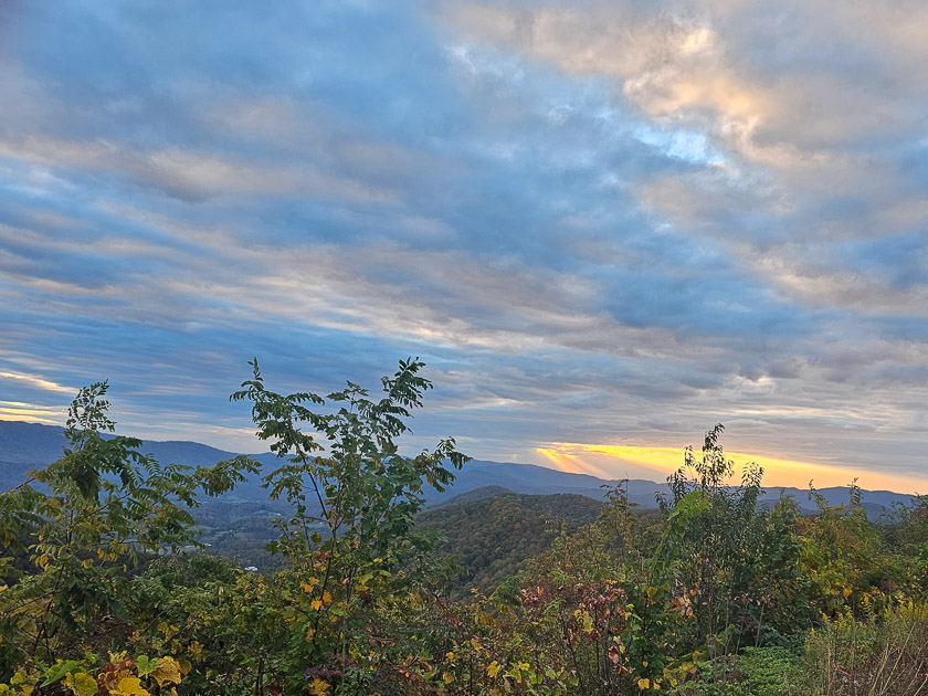
This overlook has a parking area on one side of the road and a pull-off on the opposite side. This is a beautiful place to enjoy the sunset over the mountains. Get there early and claim your space because it can get crowded.
Once you pass Caylor Gap Overlook, you come to a series of cantilevered concrete bridges which road construction crews used instead of standard roadway to finish this section of the parkway. In doing that, they built a section of roadway that has some of the most amazing views in the United States. There are portions of this drive where you may feel like you are flying because you see nothing but the sky.
This section of road is not for the faint at heart. But if you can handle it, it is some of the most beautiful scenery you will ever see. If you can’t handle curves, let someone else drive. If you’ve never driven in the mountains, I would not suggest driving this section in the rain or at night.
There are still more overlooks as you near Wears Valley Road where this section of the Parkway ends. However, I don’t think any of them are as spectacular as the bridge views and Caylor Gap Overlook.
Things You Need to Know
For those who have never driven the Parkway, there is no gas or food available while on the Parkway. The only restrooms are those located at the Look Rock Campground. These restrooms are only open from the end of April through the end of October.
Foothills Parkway is not technically considered to be within the National Park, but the Park services manage it. Because of that, you must have a parking sticker if you are going to park along the Parkway for more than 15 minutes. And you are going to want to do that.
The parking tags are available online or at the park. To purchase online or find locations click here. You can purchase one of three different tags: a daily one @ $5, weekly @ $15, or an annual pass for $40. Bear in mind the annual tags are not available at the kiosks within the park. They are available at other locations within the park.
You must display this tag in the windshield on the front passenger side. If you purchase the annual tag and own more than one vehicle, decide which vehicle you want to use in the Smokies before applying the tag. You cannot move the tag to another vehicle because you must write the license plate number on the tag before applying it. Unfortunately, there are no discounts for Tennessee residents.
Is Driving the Foothills Parkway Worth It?
It does take a little bit of time to get to the Peaceful Side of the Smokies and Foothills Parkway, but it’s well worth the investment. While Knoxville provides so many places to explore (like Ijams Nature Center), visiting the Smokies almost feels like a mini vacation.
Regardless of the season, Foothills Parkway offers an abundance of scenic views that you won’t soon forget. Each season gives you a different look at one of America’s most beautiful drives. (In the winter, check to make sure the Parkway is opening by clicking here).
What about you? Have you driven the Foothills Parkway? If you have, comment below to tell us about your favorite season for driving it.

